
Search Rochester Streets by Address
A Rochester street search works best as a chain, not as a list of names. Start with one full Rochester address and use the county property search to locate its parcel. That Rochester record can supply the parcel ID, owner or taxpayer, situs, mailing address, and legal description. The Rochester GIS view then makes the street segment visible. Recorded instruments and historical directories can extend the Rochester trail in different directions. An owner is not automatically a resident, and an older directory entry is not proof of a current connection.
- Enter the Rochester street number and street name in the Olmsted address search. Save the returned parcel ID, current situs address, and legal description.
- Open the same Rochester parcel in the map view or county GIS. Inspect the Rochester street centerline, nearby parcels, and any current or retired address layer that affects the spelling.
- Use the Rochester owner and legal description in the deed index. The purchase instrument can identify a prior title party and the document number needed for a repeatable search.
- Check Rochester Citizen Access for address- or parcel-keyed permit history. A permit supplies an event and a date, not a statement about who lived there.
- For an older Rochester household question, consult the address-oriented directories at RPL or ResCarta and pair an entry with the correct period.
Write down the Rochester source and date for each hit. That small Rochester record trail makes a by-address result easier to review when a parcel split, a changed street label, or a different tax mailing destination appears later.
Rochester Street Directory Record Sources
Olmsted County keeps the most useful Rochester street-keyed material in several systems. The Rochester assessor and GIS establish the parcel behind a number. Rochester Recording & Abstracting keeps title instruments. The Rochester permit portal preserves work and application events. Historical directories offer an older address-to-occupant layer, but their exact full Rochester year run still needs verification with library staff.
| Address record | Local keeper | Useful fields | Access route |
|---|---|---|---|
| Rochester iasWorld property record | Rochester-area Olmsted PRL | Rochester parcel, owner or taxpayer, situs, mailing, assessment context | Free Rochester public search |
| Rochester GIS parcel layers | Rochester Olmsted GIS/E911 | Rochester geometry, address points, street centerlines, retired labels, districts | Rochester Public Web Map and ArcGIS |
| Rochester recorded instruments | Rochester Recording & Abstracting | Rochester parties, document date and number, legal description, book or page | LandShark paid detail and Rochester office fallback |
| Rochester city permits | Rochester Citizen Access | Rochester address, parcel, work, owner or applicant, inspection and final action | Anonymous Rochester portal search and archive |
| Rochester criss-cross directories | Rochester RPL and ResCarta | Historical Rochester address-to-occupant entries and household notation | Rochester collection search, scan and staff verification |
The Rochester parcel ID and legal description are the strongest bridge between these sources. Rochester street spelling is helpful, but older deeds may use title parties or land descriptions instead of a modern street number. The exact online beginning year for LandShark has not been located, so older Rochester title research may need the office.
Rochester Street Directory Search Fields
Olmsted iasWorld's Rochester address-search entry is the quick start for a Rochester street number. The Rochester public interface advertises Address, Real Property, Advanced, and Map Search. County instructions favor a light Rochester query: use the house number and street name first, then try old or current forms when the result is missing. Detailed live labels for every advanced option were not consistently available, so the table keeps that uncertainty visible.
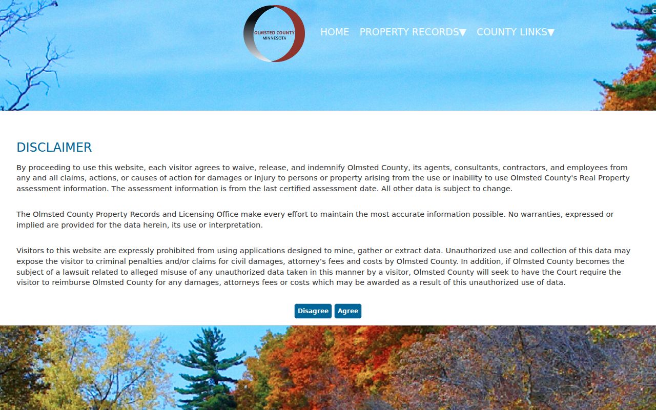
The Rochester screen is an entry point, not a complete resident list. A returned Rochester owner or taxpayer must remain labeled as a property-record association, and a mailing address may be somewhere other than the physical Rochester parcel.
| iasWorld field or mode | How to use it |
|---|---|
| Address Search | Choose this route for a house number and street; detailed subfields were not located. |
| Real Property Search | Use the owner or property route and try spelling variants for a person, trust, or entity. |
| Advanced Search | Combines filters; ZIP and property options may exist, but the exact live choice list was not captured. |
| Map Search | Select a parcel from the map, then use the current-list and return-to-search controls. |
| Parcel ID | Keep the returned identifier. County examples include prefixes and punctuation, while the GIS jurisdiction tool uses 12 digits without dots or dashes. |
Read Rochester Parcel Labels Carefully
Three Rochester labels often look alike but mean different things. The Rochester situs is the physical location of the parcel. A mailing address is where tax notices go and may point outside Rochester. The Rochester owner or taxpayer is a title or tax association. Record all three without converting one into another. This distinction matters on a Rochester street with trusts, entities, multiple parcels, or a separate notice address.
- Parcel
- A county-defined piece of land used to connect assessment, map, and tax information.
- Situs address
- The physical address where the parcel sits. It is not the same field as a tax-notice mailing address.
- Plat
- A recorded map that lays out lots, blocks, streets, or subdivisions and can explain a changed legal description.
- Criss-cross directory
- An address-oriented directory section that can lead from a street number to a historical occupant entry.
Use the Rochester legal description when the address trail breaks. It can be a lot and block in a subdivision or a metes-and-bounds description. That Rochester title language can survive a new street name, an altered number, or a parcel split better than a bare address search.
Follow a Rochester Street Deed Chain
After Rochester iasWorld identifies the current owner and legal description, use Olmsted LandShark for Rochester records to find the purchase instrument where that owner is the grantee, meaning the party receiving title. The seller is the grantor. Search that seller as an earlier Rochester grantee and repeat the sequence. At every link, keep the names as printed, the Rochester recording and execution dates, document type and number, book or page reference, legal description, and any image or copy status.
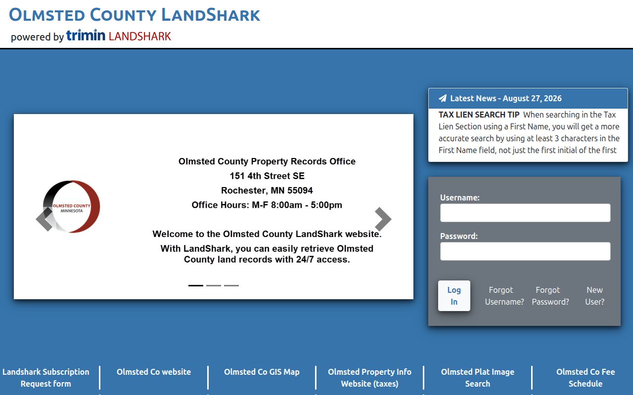
LandShark separates index detail from document retrieval, and both can be billable. An occasional user pays a convenience fee plus charges for detail and document pages; subscribers have a different schedule. County staff research is also available at $75 per hour. The online start year is not documented in the official material reviewed, so a stopped web trail should lead to Recording & Abstracting, deed books, abstract or title records, and paid copies rather than an assumed gap in ownership.
Rochester Street Permits Add Dates
Rochester Citizen Access adds a separate address trail. Its city modules support an address search using the building number and street name in the documented example. A result may connect an address or parcel with an owner or applicant, work description, valuation, contractor, inspections, and final action. Those fields can help date construction, repair, or planning activity along a street.
Keep the event type straight. A permit is not a deed, and an applicant is not necessarily the title holder or a resident. Rochester changed its permit-report format in April 2026 during an accessibility transition, adding a searchable, sortable spreadsheet by permit type, date, parcel, address, quadrant, valuation, work description, contractor, and owner. Save the report version and date when comparing a portal result with the archive.
Rochester Streets Before and After 1918
Rochester's July 9, 1918 quadrant system is an address-history key. Broadway divides east and west, while Center Street divides north and south. The street-name chapter links older labels to the quadrant system, including Main, Franklin, Prospect, Grove, Court, Hunter, and Dacotah relationships to later southwest avenues. A directory or deed can therefore use a name that a modern map search does not expect.
Search the former name, modern name, direction, number, and legal description together. The record also notes a 1992 change to 13th Avenue SW in Bamber Ridge Second Subdivision. That documents a street-name bridge, but it does not prove that every nearby number changed in the same way. A plat or the jurisdiction record is needed for a specific renumbering claim.
Rochester Retired Address Clues
The county GIS layers add a useful Rochester quirk: retired addresses retain legacy street-name and MSAG community fields. Compare those fields with the current address point and street centerline before deciding that two differently written addresses are unrelated. GIS/E911 is also the county authority for county addressing and final plats, so its layers can show city limits, parcels, townships, sections, and electronic map books alongside address points.
ZIP labels are a second, separate time line. USPS is the authority for the delivery address, but a postal label does not identify a person. Old directory addresses should be checked against the current point, the retired-address layer, the plat, and the legal description. That four-part check is safer than assuming an old ZIP or street label maps neatly to a present parcel.
Use the map controls to make that comparison reproducible. The documented tools include Timing, Distance, Units, a choice of parcel center points or polygons for a buffer, Select By Buffer, View Current List, Return to Search, and map-print settings. A narrow buffer can reveal the parcels beside a disputed address, while the city-limit layer separates municipal geography from a postal label. Save the layer, selection method, and map date with the parcel notes. The county describes current, recent, and historical aerial imagery, but the exact dates for an individual layer were not located, so label the imagery date only when the viewer supplies it.
Historic Rochester Street Directory Entries
For who lived along a street in an earlier period, the address or reverse portion of a city directory is the right kind of source. RPL and ResCarta hold Rochester city-directory material, and a directory entry can carry an address, name, household notation, occupation, phone, or owner marker depending on the edition. The exact full Rochester run and the reverse-directory years were not located in the public catalog, so confirm the year and scan before treating a gap as evidence.
Pair the nearest directory year with a deed date, newspaper notice, census window, or Sanborn map. The Rochester Directory Book has the collection-level detail. Sanborn editions from 1884 through the bound 1928 to 1948 run can show building footprint, use, street layout, and address change, but not resident names. A historic street result remains strongest when each source is labeled by its role and date.
Limits of a Rochester Street Directory
A Rochester street directory cannot establish every person connected with a block. Property records may omit non-owner household members. A tax mailing address may be elsewhere. Utility customer data and many motor-vehicle details are not public, and a permit applicant may be a contractor rather than the owner or occupant. MNVotes is a known-person registration match tool, not an anonymous street-wide roster; Minnesota Statute 201.091 also limits voter-list use and online publication.
Use records with care. Rochester address research is appropriate for family history, property questions, and civic curiosity. Do not use any result to stalk, harass, intimidate, or harm another person.
Keep the conclusion narrow: “associated with this parcel in this source on this date” is more accurate than claiming every person on a street has been found. That wording respects both the gaps in public records and the people behind them.